


Your GPS shows the boat moving, but the jig is still easy to control. Later, the speed reading falls and the line starts sweeping away. Has the current suddenly become stronger, or is the display answering a different question?
GPS speed over ground describes the boat's movement relative to the Earth, not the water flowing past your jig. It is useful for following a drift across fishing ground. By itself, it cannot measure current at fishing depth or prescribe the right jig weight.
For vertical jigging and slow pitch jigging, separate three observations: where the boat is going, how water is moving relative to the boat and tackle, and whether you can manage the intended presentation.
What does GPS speed over ground actually tell you?
Speed over ground, commonly labeled SOG, describes movement across the Earth's surface. Course over ground describes the direction of that movement. Neither is the same thing as the direction the bow points.
A drifting boat can face one way while moving another. Wind, waves, current and boat operation can all affect its motion. If the skipper uses propulsion or a positioning system, the displayed movement reflects that operation too.
Confirm which field you are reading and its units. A screen may offer GPS speed, speed through water from a separate sensor or other calculated information. A number labeled simply speed should not be treated as a direct current measurement without identifying its source.
Why boat drift speed is not current speed
Current is water movement relative to the ground. GPS follows the boat. The two can sometimes be similar, but that does not make them interchangeable.
Imagine a simplified situation in which a boat and the surrounding surface water move together. The boat can make progress across the chart while having little movement relative to that nearby water. Now imagine a boat held in position while water flows past it. Its GPS speed can be close to zero while its tackle experiences moving water.
These are conceptual comparisons, not measurements from a fishing trip. Real conditions add wind effects, waves, changes with depth, hull behavior and active boat handling.
The key distinction is relative motion. A jig responds to the water around it and to forces transmitted through the line. The boat's speed across a map cannot describe all of those interactions.
Why the current at the jig can differ from the surface
Water movement can vary with depth. A boat may move mainly with the surface layer while a jig and parts of its line encounter different speeds or directions below. The entire line need not sit in one uniform current.
That is why a seemingly gentle surface drift can still produce a bowed line or poor contact at depth. Conversely, a visibly moving boat does not automatically require a heavier jig if the presentation remains manageable.
Watch what the tackle is actually doing. Useful observations include descent behavior, the line's entry direction, changes in line angle and whether the intended fishing layer remains accessible. None of those alone provides a complete current profile.

Can you calculate current by subtracting speeds?
Not by subtracting two unrelated numbers on a display. Movement has both speed and direction. Estimating current from boat motion requires suitable measurements referenced to the same time and frame, with their directions accounted for and the limitations understood.
GPS alone does not provide the boat's movement relative to the water. A separate speed-through-water sensor also has installation, calibration and sampling limitations; it does not directly measure the flow at a deep jig.
For most fishing decisions, it is more useful to describe the observation honestly than to manufacture a current figure: boat moving northeast over ground, line sweeping aft, descent becoming difficult. Do not relabel SOG as measured current in a log.
A practical jigging check before adding weight
- Identify the reading. Check the displayed field, units and source. Look at the track as well as the number; follow the device instructions when interpreting low-speed information.
- Ask what the boat is doing. Confirm with the skipper whether the boat is freely drifting, being repositioned or actively held. Do not adjust boat controls to test a fishing theory.
- Check the presentation. Observe descent and line behavior. Inspect for a fouled jig or tangled rig when recovered. A rigging problem is not a reason to add weight.
- Choose one appropriate change. Discuss a new drift or retrieve-and-reset with the skipper. Where suitable, compare a compatible jig profile or weight without exceeding the outfit's guidance.
- Stop when control is unsuitable. Excessive scope, crossed lines, snags or an unsafe working position can justify retrieving and reassessing rather than paying out more line.
Do not assume that more line always restores a vertical presentation. Line paid out is not the same as vertical depth, especially when it forms a curve through moving water. A sounder's bottom-depth reading also does not locate your jig unless you can actually identify it with the equipment and viewing conditions.
Match jigging tackle to the presentation, not a GPS threshold
There is no universal conversion from knots of GPS drift to grams of jig weight. Depth, flow through the water column, line characteristics, jig shape, rigging and boat operation all matter. Two jigs of equal mass may descend differently.
Use a rod's documented guidance as a boundary, not a promise that every listed jig will remain controllable in every condition. The GOOFISH Orange Micro slow pitch jigging rod lists a recommended 20–100g metal jig range and approximately 195cm assembled length, with separate spinning and casting/overhead configurations and construction options.
That range is not permission to add weight beyond it when the line sweeps away. Nor does it establish a casting allowance, working drag or fish-lifting capacity. If the presentation requires incompatible tackle, change the plan or use an appropriately matched outfit.
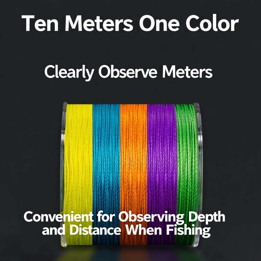
Record your exact line and leader rather than only a broad label such as braid. The GOOFISH Max-8 braided fishing line is a product reference for identifying the braid in a setup, not evidence of a particular current resistance or a guaranteed vertical presentation. Confirm the selected line specifications and compatibility separately.
Record the observation without overstating the measurement
A useful drift note keeps the sources visible: GPS SOG and course if available, boat operating mode, displayed water depth, line behavior, jig identification and weight, and what you changed. Label estimates as estimates and unknowns as unknowns.
For a repeatable recording format, use our jigging fishing log template. Keep the practical observation separate from a causal claim. Better control after a change does not prove that current speed changed or that one product caused the improvement.
GPS drift speed and current FAQ
Does a low GPS speed mean slack water?
No. A boat held in position can have very little movement over ground while water continues moving past it. Slack water must not be inferred from that number alone.
Does a fast drift always need a heavier jig?
No. Assess presentation control, the boat's operating mode and the relevant equipment recommendations. Retrieve and reassess when suitable control cannot be maintained.
Can line angle tell me the exact current speed?
No. Line angle reflects several interacting factors and the line may be curved below the surface. It is a presentation observation, not a calibrated current meter.
Is course over ground the direction the boat faces?
No. It describes the direction of movement over ground. Heading describes orientation, and a drifting boat can have different heading and course.
Can GPS replace local marine planning information?
No. A live boat-motion reading does not replace local weather, tide and current information, navigational judgment or the skipper's instructions.
Use GPS to understand the boat's track. Use tackle observations to judge the presentation. Do not ask one speed number to do both jobs.





Leave a comment